IAP Fellow 2020: Jack Reid Part I
Howdy! This first post of mine focuses on the project as a whole. Check back later for how my actual on-site work is going.
By way of introduction, I am graduate student in the Space Enabled group at the Media Lab. This project is one of many that the Space Enabled group is working on as part of our mission to advance justice in Earth’s complex systems using designs enabled by space. A big part of justice is sustainability and one of the chief “designs enabled by space” are earth observation satellites. I have an overarching goal to translate data from these satellites, currently used mostly by scientists to monitor environmental changes, into socially relevant forms that decision-makers, including both government officials and local community members, can use to help their communities.
This goal has led me to Rio de Janeiro where we have partnered with two other groups. The first is Instituto Periera Passos (IPP) which is basically the data science and management office for the municipality. They have plenty of experience with map-making and have been regularly using remote observation data for about two decades at this point. The other group is the the Laboratório Espaço group at the Federal University of Rio de Janeiro. This group is made up of a bunch of talented earth scientists, particularly ones that specialize in various marine and coastal ecosystems in Brazil. While this partnership has several components, my primary contribution is to build a scenario planning model to help with development and conservation decision-making in the western part of the city, particularly Guaratiba.
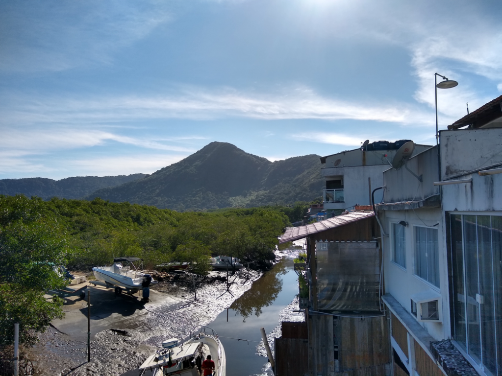
Let me break that down a bit. I’ll start with Guaratiba. In the coastal valleys of what we now know as the city of Rio de Janiero, there used to be enormous forests of mangrove trees. In the eastern part of the city, these are all but entirely gone. Some corpses still exist in the southern part of the city (and are actually expanding due to recent replanting efforts). But in the western part of the city, particularly in the region known as Guaratiba, there is still a substantial mangrove forest. This forest, however is increasingly vulnerable due to landward urbanization, including a recently opened urban transit line. These mangroves provide a variety of ecosystem services, including serving as a mechanism for highly efficient carbon sequestration, supporting a subsistence industry of fishing and crab catching, preventing coastal erosion, and attracting a local ecotourism industry. The increasing urbanization pressure is largely due to the significant upheaval in the city in the wake of megaevents like the 2014 World Cup and the 2016 Summer Olympics. Beyond the effects on the mangroves, these changes are also impacting the local community and changing demographics. The Guaratiba area is a historically poor and rural area, with a fair amount of informal settlements. The residents of the region commonly rely on agriculture (with a particular specialization in ornamental plants) and non-industrialized fishing. Now that Guaratbia has been better connected to the rest of the city and the northwestern part of the city has expanded job opportunities, there is increasing pressure to commercially and industrially develop the area, impacting both the historical residents and the mangroves.
And that brings us back toe the scenario planning model. By scenario planning, I just mean getting decision-makers together in a room, presenting them with a situation (ideally their actual real-world situation), and asking them what decisions they would make. We then input these decisions into the model, forecast out the results five, ten, fifteen years down the line, present this information, and then ask them to make another decision. After a few rounds, we can rewind back to the beginning and try out different choices. Here in Rio, those decisions may center around the designation of protected conservation areas, the zoning of new areas for development, or the expansion of transportation networks. And the forecasted impacts could be lost agricultural jobs, increased carbon emissions, or changes in population density, to name a few. The participants can be government officials, such as those from the Urban Planning or Environmental Secretariats, they could local community members, including representatives from neighborhood or fishing associations. The goal is that being able to see how different decisions will play and be able to better visualize some of the typically harder to quantify impacts, these groups will able to more effectively advocate for themselves and negotiate future policies.
To be clear, we are a ways off from actually running these scenario planning sessions. There is plenty of work to be done figuring out the causal links between decisions and impacts, both environmental and social, in the Rio de Janeiro context. And before that, we need to nail down exactly what are the relevant metrics and relationships for us to talk about. This visit largely focuses on that: meeting with stakeholders to better understand their needs and interests and determining what data is available already and how we can best fill in the gaps. But more on that can wait until the next post!
Tags: Brazil, Fellowships IAP 2020, PKG Fellowships, Urban & Rural Planning